By using the Social Pinpoint Mapping Tool you are taken to have accepted these Terms and Conditions set out below.
Keenesburg Comprehensive and Transportation Plans
Thank you for your interest in Keenesburg's first-ever Transportation Plan!
Throughout the Keenesburg Transportation Plan, the project team will be exploring the community’s transportation priorities. This interactive map will help identify these transportation opportunities and challenges.
To leave your input on the commenting map, please follow the steps below:
-
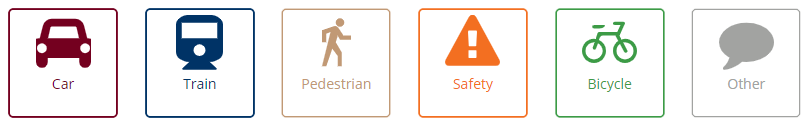
STEP 1: Click on "Add a Comment" and select a marker type (either vehicle, truck, pedestrian, bike, train, or other).
- STEP 2: Drag the marker to your priority location within the Town’s growth boundary.
- STEP 3: Drop the marker and add your comment to the text box that appears
- STEP 4 (Optional): Review other people’s comments and click on the “like” button if you agree or the “dislike button” if you do not agree.
- STEP 5 (Optional): Return to this site later to review other comments and to see reactions to your comments.